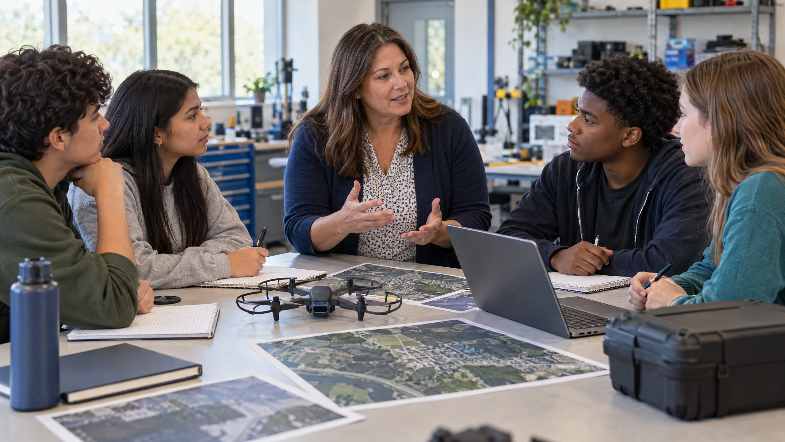
Strong drone career exploration activities for high school connect a realistic mission, a team role, a useful deliverable, and reflection on the skills behind the work. Teachers can build those connections with maps, photographs, job postings, and tabletop scenarios—without launching an aircraft.
For career and technical education (CTE) programs, the goal is to introduce unmanned aircraft systems (UAS) as tools within broader occupations, not make flying the entire lesson. These 12 activities default to no-flight instruction. The classroom scenarios below are hypothetical teaching examples, not accounts of measured outcomes.
What should drone career exploration teach?
Begin with the problem an employer needs solved: documenting a site, communicating a story, or organizing geographic information. Then distinguish aircraft operation from data interpretation, industry knowledge, and client communication. An aerial image alone does not establish a structural diagnosis, a crop treatment recommendation, or a legal property boundary.
Use occupational research to broaden conversations about education and training. These national wage figures describe entire occupations, including work that does not involve drones.
Source: Bureau of Labor Statistics, May 2025 U.S. national median annual wages for cartographers and photogrammetrists, surveying and mapping technicians, and film/video editors and camera operators, combined. These are occupation-wide medians, not entry-level pay, drone-pilot salaries, or earnings guarantees.
The FAA educational framework allows Part 107 operations or a qualifying Section 44809 exception. Qualifying organizations include higher education, JROTC, and programs chartered by FAA-recognized community-based organizations. Other educational organizations generally need Part 107 absent a qualifying charter. A school setting alone does not establish an exemption.
12 classroom activities that connect drones to careers
1. Reverse-engineer a local job posting
Give teams a teacher-selected posting involving mapping, inspection support, or media production. In 30 minutes, have them separate job tasks, required skills, and evidence an applicant might provide. Printed excerpts work when internet access is limited; remove employer contact information if unnecessary.
Collect a three-column task/skill/evidence chart and one question about an unfamiliar requirement. Discuss which responsibilities involve aircraft and which involve software, teamwork, or domain expertise. This introduces workplace literacy without implying that a classroom project qualifies someone for the advertised role.
2. Build a drone career pathway map
Provide the three BLS profiles linked above and a local college or training-program directory. Allow 35 minutes to map an occupation, its typical entry education, relevant skills, and one locally available next step. A paper template is sufficient.
Assess a one-page pathway map with source notes and a question to investigate further. Compare the typical bachelor’s-degree entry route for cartography or the combined media group with the high-school-diploma entry route for surveying and mapping technicians. Explain that employer preferences vary; a typical pathway is not an employment promise.
3. Plan a mapping mission without flying
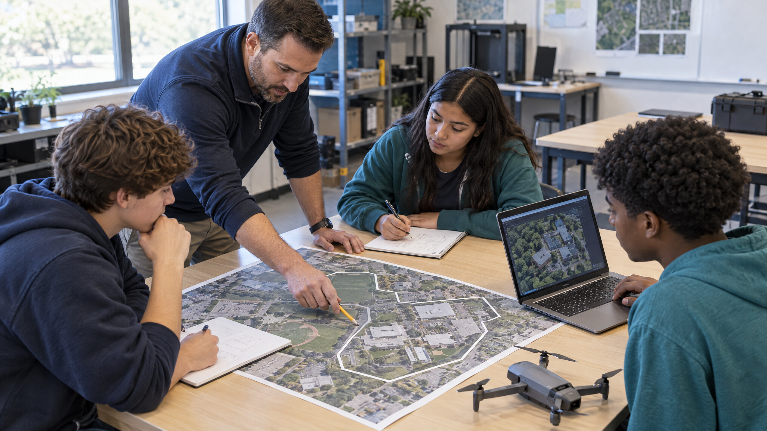
Use a printed campus map or teacher-created site sketch and a fictional request to document walking paths. In 40 minutes, ask teams to define the requested output, identify areas needing permission, and list questions about coverage and image quality. No mapping software is necessary.
The deliverable is an annotated mission sketch with a short client-clarification note. Connect it to geospatial planning and surveying support, while clarifying that the exercise is not a legal survey. Reward teams that ask what information the client needs before choosing a tool. For a broader GIS pathway, see our high school drone mapping curriculum guide.
4. Turn aerial images into an inspection brief
Supply three authorized images of a roof, fence, or solar installation, or use clearly labeled mock photographs. Give teams 30 minutes to record visible conditions separately from possible interpretations. Projected images can replace individual devices.
Require a one-page brief containing labeled observations, image references, limitations, and questions for a qualified specialist. Teachers should challenge unsupported statements such as “the roof is unsafe.” Connect the assignment to inspection documentation and asset-management support, where clear evidence matters and domain professionals determine the meaning of a finding.
5. Storyboard an aerial media assignment
Present a fictional client brief for a school-facility video. With paper storyboard boxes and a campus photograph, allow 35 minutes to plan six shots supporting a specific audience and message. Keep the assignment conceptual rather than filming.
Collect a storyboard, shot list, and permissions/privacy checklist. Ask teams to explain why each aerial perspective would add information rather than simply look impressive. Connect the work to camera operation, editing, and client communication. Assess whether the plan avoids identifiable people or restricted areas unless appropriate permissions are established.
6. Run a crew-role communication simulation
Prepare role cards for pilot, visual observer, and mission/data lead, plus a printed site diagram. In a 25-minute tabletop simulation, introduce a hypothetical interruption such as a person entering the planned area. Use a paper aircraft symbol; any real aircraft remains powered off.
Have teams produce a briefing card, agreed stop signal, and brief incident log. Rotate roles and evaluate clear acknowledgments and conservative decisions. These instructional roles illustrate operational teamwork, not a universal legal crew requirement. Connect the exercise to mission coordination and workplace communication.
The career lesson is not just how to fly; it is how to turn a mission into useful, trustworthy work.
For a broader instructional framework, Drone Launch Learning’s Commercial Drone Licensure and Flight Fundamentals curriculum combines drone technology, career applications, and FAA Part 107 preparation with classroom resources. Educators should review local standards and implementation needs.
Connect career exploration to a structured drone curriculum
See how Drone Launch Learning supports teachers with lessons, activities, and FAA Part 107 exam preparation.
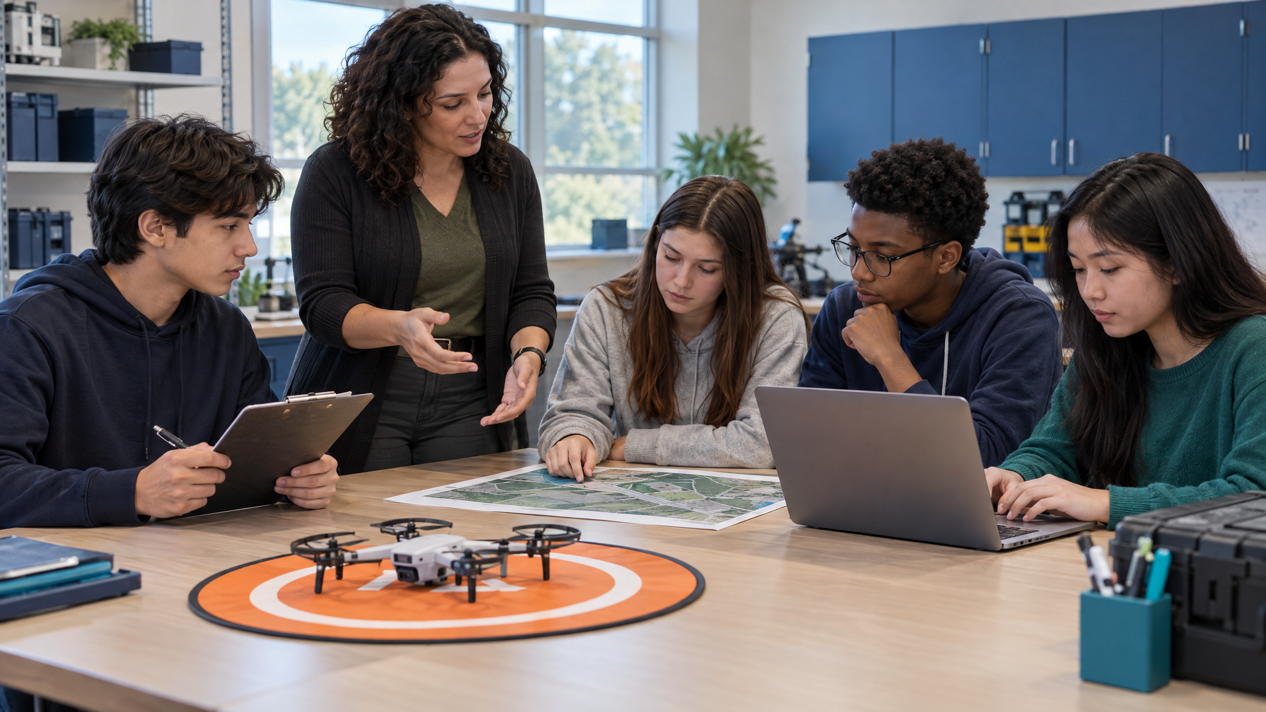
7. Compare agriculture and environmental monitoring scenarios
Provide two fictional briefs: locating uneven crop appearance and documenting vegetation near a stream. Use teacher-prepared images and allow 35 minutes for teams to compare the client’s question, useful observations, and missing expertise. Color labels or written descriptions offer a low-barrier alternative to image analysis.
Collect a comparison memo proposing what to document and whom to consult. Require a distinction between observations and conclusions: visible variation does not identify its cause. Connect the activity to agricultural technology and environmental monitoring support, emphasizing collaboration with domain specialists.
8. Hold a public-safety mission planning exercise
Create a fictional post-storm scenario with a paper neighborhood map. In 30 minutes, ask teams to define a documentation objective, information recipients, privacy concerns, and reasons to stop or defer. Do not involve an actual emergency or send learners to a response site.
The deliverable is a tabletop planning brief with a decision log and explicit limitations. Discuss how public-safety support depends on authorization, coordination, and useful information—not independent deployment. Assess whether teams recognize that classroom planning does not establish operational authority or emergency-response competence. Our public-safety drone career pathway guide can support the wider classroom discussion.
9. Audit a mock maintenance record
Prepare a fictional log with missing dates, an unresolved damage note, and an ambiguous status entry. Provide a manufacturer-guide excerpt and allow 25 minutes for a documentation audit. A photograph of the aircraft works; any physical aircraft stays powered off, without disassembly or battery handling.
Collect an annotated log and a “refer for review” note explaining unresolved issues. Teachers should reinforce following manufacturer guidance rather than improvising repairs. Connect the exercise to equipment readiness, technical documentation, and maintenance support; assess traceable records, not a student’s declaration that an aircraft is airworthy.
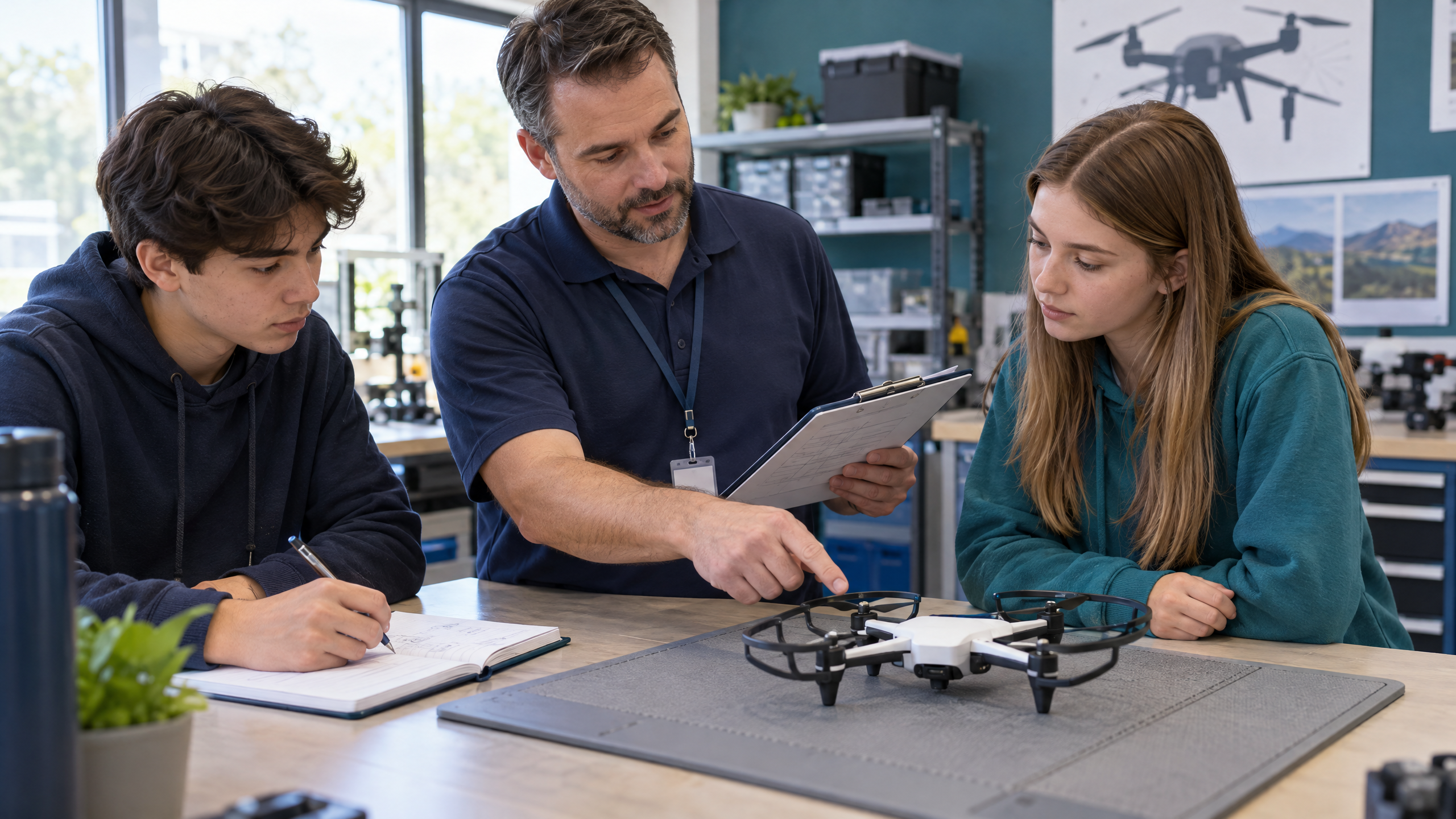
10. Interview a local industry professional
Use 20 minutes to develop questions about daily tasks, entry pathways, data quality, and mistakes beginners should avoid. Arrange a teacher-moderated conversation with a suitable professional; a written response can replace a live visit. Seek school approval before sharing questions or arranging contact.
Assess an interview summary linking three insights to classroom artifacts. The FAA notes that DronePros may provide talks or demonstrations; educators can explore its FAASTeam directory. Availability is not guaranteed. Connect the activity to professional networking and informed pathway decisions, without treating one interview as representative of an entire industry.
11. Build a sample client handoff packet
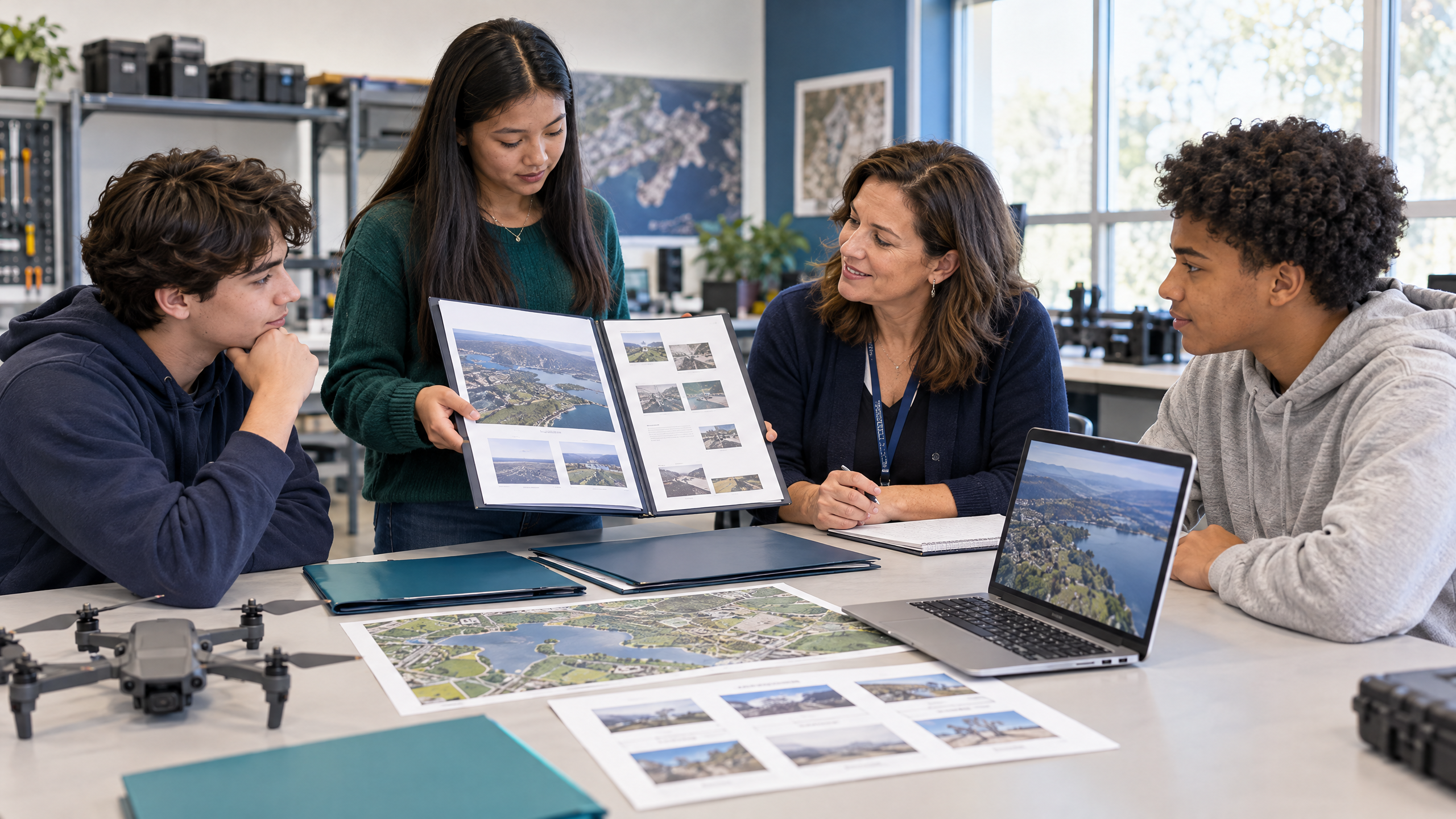
Give teams a fictional client request and reusable images from earlier activities. Allocate 40 minutes to organize files, write a concise cover note, and identify limitations and next steps. Printed folders and an index sheet can replace digital storage.
Collect a packet containing an output index, labeled examples, a methods note, and unresolved questions. Have another team check whether the recipient could understand it without verbal explanation. Connect the work to project coordination and data delivery, emphasizing that useful work must be understandable, organized, and honest about what it cannot establish.
12. Present a career evidence portfolio
Allow 45 minutes for teams to select three strong artifacts, revise one using feedback, and prepare a short presentation. Offer a narrated slide, written explanation, or teacher conference as alternatives to public speaking.
Assess a portfolio with an artifact index, revision explanation, and individual next-learning-step reflection. Ask teachers to distinguish team output from each learner’s contribution. Connect the presentation to interviews and professional communication, while labeling all material as classroom simulations rather than actual client work, credentials, or evidence of independent operational readiness.
How to fit the activities into a CTE sequence
A suggested four-week sequence groups related tasks. In week one, use activities 1–3 to investigate occupations and define a mission. In week two, use activities 4–6 to practice evidence, media planning, and communication. In week three, use activities 7–10 to explore sector differences, documentation, and professional insight. In week four, use activities 11–12 to assemble and present evidence.
Adapt these 25–45-minute tasks to your schedule; interviews and revision may need additional sessions. Keep printed templates, shared screens, and alternative presentation formats available. No-flight participation should offer the same assessment opportunities, not become a lesser substitute.
Use a shared rubric for mission fit, decision reasoning, data quality, communication, and reflection. Our drone program assessment and rubrics guide offers a broader grading framework. Assess source labeling and acknowledged limitations alongside the final product. For administrators, these artifacts can support curriculum discussions; they do not prove employment or certification outcomes.
Source: BLS projected occupation-wide employment growth, 2025–2035, for cartography and photogrammetry, surveying and mapping technicians, and film/video editors and camera operators, combined. These are not drone-sector projections or guarantees of local openings.
Frequently asked questions
Can educators teach drone careers without aircraft?
Yes. Job research, mission planning, image interpretation, documentation, and portfolios can all use paper or shared digital materials. Each activity above defaults to no flight.
Does every learner need Part 107 certification first?
No certificate is needed for these research and tabletop tasks. First-time FAA Remote Pilot Certificate applicants must be at least 16 and meet other eligibility, testing, and application requirements. Classroom participation or exam preparation does not itself authorize outdoor operations.
What evidence should teachers assess?
Assess mission fit, decision reasoning, data quality, communication, and reflection. Require each learner to explain a choice, acknowledge a limitation, and identify a next learning step.
Connect drone career exploration to a structured CTE pathway.
Book A Demo to discuss curriculum fit and classroom implementation for your school.